File:Drayton bridges, Birmingham and Fazeley Canal.jpg
Dimenjiuns de chësta odüda danfora:800 x 548 pixel. Autra resoluzions: 320 x 219 pixel | 640 x 438 pixel | 1 024 x 701 pixel | 1 280 x 876 pixel | 2 592 x 1 774 pixel.
Documënt uriginel (2 592 × 1 774 pixels, dimenjiun dl file: 1,09 MB, MIME type: image/jpeg)
| Descriziun |
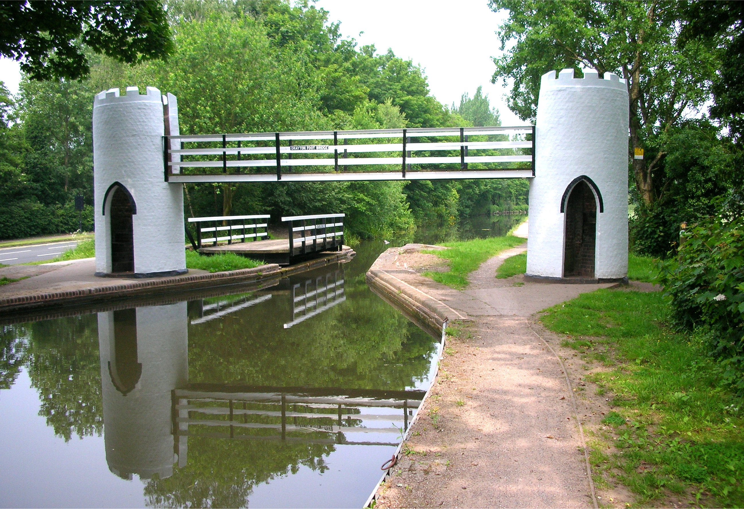
English: The folly-like footbridge and adjacent swing bridge at Drayton Bassett, near Tamworth, Staffordshire, England, over the Birmingham and Fazeley Canal. Grade II listed (272768). Photographed by me 8 June 2007. Oosoom |
||
| Data | 8 Juni 2007 (data di caricamento originaria) | ||
| Funtana | Transferred from en.wikipedia | ||
| Autur | Original uploader was Oosoom at en.wikipedia | ||
| Lizënza (Tó ca danü chësc file) |
Io, detentore del copyright su quest'opera, dichiaro di pubblicarla con le seguenti licenze:
Chësc file á la lizënza de destribuziun aladô dla lizënza Creative Commons Attribution-Share Alike 3.0 Unported.
Pos chirí fora la lizënza che as plü ion |

| Luogo dello scatto | | Posizione di questa e altre immagini su: OpenStreetMap |
|---|
Registro originale del caricamento
The original description page was here. All following user names refer to en.wikipedia.
- 2007-06-08 23:02 Oosoom 2592×1774×8 (1147611 bytes) The [[folly]]-like footbridge and adjacent [[swing bridge]] at [[Drayton Bassett]], near [[Tamworth]], [[Staffordshire]], England, over the [[Birmingham and Fazeley Canal]]. Photographed by me 8 June 2007. ~~~~
Storia dl documënt
Druca sun na data/ëura per udëi l documënt coche l fo te chël mumënt.
| Data/Ëura | Miniatura | Grandëza | utënt | Cumentar | |
|---|---|---|---|---|---|
| atuel | 17:38, 20 fau 2008 | | 2 592 × 1 774 (1,09 MB) | Oosoom | {{Information |Description={{en|The en:folly-like footbridge and adjacent en:swing bridge at en:Drayton Bassett, near en:Tamworth, en:Staffordshire, England, over the en:Birmingham and Fazeley Canal. Photographed by me 8 June |
Coche l document ie stat adurvà
Chësta plata adroa chësc documënt:
Coche l documënt ie stat adurvà ntëur l mond
Ënghe chësta wikis adroa chësc documënt:
- Adurvà sun arz.wikipedia.org
- Adurvà sun ceb.wikipedia.org
- Adurvà sun de.wikipedia.org
- Adurvà sun en.wikipedia.org
- Adurvà sun fr.wikipedia.org
- Adurvà sun pl.wikipedia.org
- Adurvà sun www.wikidata.org
- Adurvà sun zh-min-nan.wikipedia.org