File:Friedberg (Hessen) Stadtkirche.jpg

Documënt uriginel (1 416 × 1 079 pixels, dimenjiun dl file: 91 KB, MIME type: image/jpeg)
_Stadtkirche.jpg)
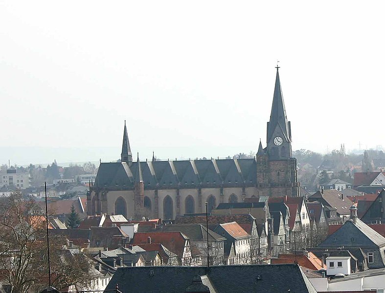
- Beschreibung: "Stadtkirche" in Friedberg
This is a picture of the Hessian Kulturdenkmal (cultural monument) with the ID 5526 (Wikidata)
|
- Quelle: selbst fotografiert am 27. März 2005
- Fotograf:
| Sven Teschke
(1964–) |
|||
|---|---|---|---|
| Descrizione | fotografo y autore tedesco | ||
| Data di nascita |
1964 | ||
| Luogo di nascita | Hanau | ||
| Periodo di attività | 1985 | ||
| Luogo di attività | |||
| Authority file | |||
- Andere Versionen:
- Lizenzstatus: GNU FDL

|
AL é la lizënza da copié, da dé inant y/o müdé chësc documënt aladô dla lizënza GNU Free Documentation License, Verjiun 1.2 o vigni atra verjiun suandënta publicada dala Free Software Foundation; zënza seziuns che ara ne vá nia da mudé, zënza test söl cuertl ca dant y do ia. Na copia dla lizënza é tla seziun cun le titul Test dla GNU Free Documentation License. |
| Chësc file á la lizënza de destribuziun aladô dla lizënza Creative Commons Attribution-Share Alike 3.0 Unported. | ||
| ||
| Questo tag di copyright è stato aggiunto nell'ambito dell'aggiornamento della licenza dei progetti Wikimedia. |
|
Das Foto habe ich als Urheber unter der „GFDL – GNU-Lizenz für freie Dokumentation“ in der Wikipedia veröffentlicht. Dies bedeutet, dass eine kostenlose, auch kommerzielle Nutzung außerhalb der Wikimedia-Projekte unter folgenden Bedingungen möglich ist:
Ich bitte um Zusendung eines Belegexemplares bzw. der URL, wo das Foto benutzt wird. Bitte schreiben Sie eine E-Mail an steschke@web.de, wenn Sie
|
|
I have published this image as author under the "GNU Free Documentation License" in Wikipedia. This means that free, commercial usage outside of Wikimedia projects under the following terms of licence is possible:
Please send me a specimen copy or the URL of the website where the image is used. Please write an email to steschke@web.de, if you
|
| Posizione del soggetto | | Posizione di questa e altre immagini su: OpenStreetMap |
|---|
_Stadtkirche.jpg¶ms=050.336778_N_0008.755222_E_globe:Earth_class:object_type:object__&language=lld)
| Luogo dello scatto | | Posizione di questa e altre immagini su: OpenStreetMap |
|---|
_Stadtkirche.jpg¶ms=050.342722_N_0008.752889_E_globe:Earth_type:camera__&language=lld)
Storia dl documënt
Druca sun na data/ëura per udëi l documënt coche l fo te chël mumënt.
| Data/Ëura | Miniatura | Grandëza | utënt | Cumentar | |
|---|---|---|---|---|---|
| atuel | 19:01, 27 mer 2005 | | 1 416 × 1 079 (91 KB) | Steschke | *Beschreibung: "Stadtkirche" in Friedberg *Quelle: selbst fotografiert am 27. März 2005 *Fotograf: Steschke *Andere Versionen: *Lizenzstatus: GNU FDL {{GFDL}} de:Friedberg_(Hessen) |
Coche l document ie stat adurvà
Chësta plata adroa chësc documënt:
Coche l documënt ie stat adurvà ntëur l mond
Ënghe chësta wikis adroa chësc documënt:
- Adurvà sun ar.wikipedia.org
- Adurvà sun arz.wikipedia.org
- Adurvà sun azb.wikipedia.org
- Adurvà sun bg.wikipedia.org
- Adurvà sun ceb.wikipedia.org
- Adurvà sun ce.wikipedia.org
- Adurvà sun da.wikipedia.org
- Adurvà sun de.wikipedia.org
- Adurvà sun de.wikivoyage.org
- Adurvà sun en.wikipedia.org
- Adurvà sun en.wikivoyage.org
- Adurvà sun es.wikipedia.org
- Adurvà sun eu.wikipedia.org
- Adurvà sun fa.wikipedia.org
- Adurvà sun fr.wikipedia.org
- Adurvà sun hu.wikipedia.org
- Adurvà sun id.wikipedia.org
- Adurvà sun it.wikivoyage.org
- Adurvà sun ja.wikipedia.org
- Adurvà sun ku.wikipedia.org
- Adurvà sun ms.wikipedia.org
- Adurvà sun no.wikipedia.org
- Adurvà sun pl.wikipedia.org
- Adurvà sun pl.wikivoyage.org
- Adurvà sun pt.wikipedia.org
- Adurvà sun ru.wikipedia.org
- Adurvà sun sr.wikipedia.org
- Adurvà sun sv.wikipedia.org
- Adurvà sun sw.wikipedia.org
- Adurvà sun tr.wikipedia.org
- Adurvà sun tt.wikipedia.org
- Adurvà sun uk.wikipedia.org
- Adurvà sun uz.wikipedia.org
- Adurvà sun vi.wikipedia.org
- Adurvà sun vo.wikipedia.org
- Adurvà sun www.wikidata.org
- Adurvà sun zh.wikipedia.org
_Stadtkirche.jpg)