File:Hyde from Werneth Low.jpg
Degöna resoluziun plü alta desponibla.
Hyde_from_Werneth_Low.jpg (640 × 480 pixels, dimenjiun dl file: 90 KB, MIME type: image/jpeg)
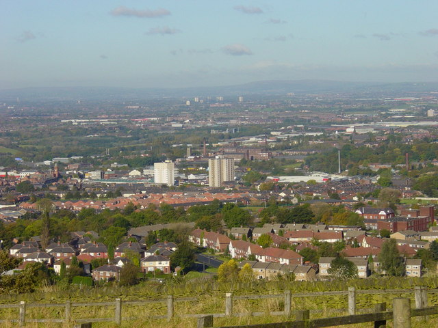
| Descriziun | Hyde and Tameside from Werneth Low, in Greater Manchester, England. Hyde Town Hall is on the centre-left of this image. In the background is Dukinfield and Ashton-under-Lyne, both in Tameside. The Pennines are on the horizon. | ||
| Data | |||
| Funtana | geograph.org.uk | ||
| Autur | Janine Cook | ||
| Lizënza (Tó ca danü chësc file) |
Questo file è disponibile in base alla licenza Creative Commons Attribuzione-Condividi allo stesso modo 2.0 Generico Atribuzion: Janine Cook
|
||
| Atribuzion (richiesto dalla licenza) | Janine Cook / View from Werneth Low on a sunny day / | ||

| Posizione del soggetto | | Posizione di questa e altre immagini su: OpenStreetMap |
|---|
_heading:337.00&language=lld)
Storia dl documënt
Druca sun na data/ëura per udëi l documënt coche l fo te chël mumënt.
| Data/Ëura | Miniatura | Grandëza | utënt | Cumentar | |
|---|---|---|---|---|---|
| atuel | 18:25, 11 nuë 2008 | | 640 × 480 (90 KB) | Jza84 | {{Information |Description=Hyde and Tameside from Werneth Low, in Greater Manchester, England. Hyde Town Hall is on the centre-left of this image. In the background is Dukinfield and Ashton-under-Lyne, both in Tameside. |Source=[http://www.geograph.org.u |
Coche l document ie stat adurvà
Chësta plata adroa chësc documënt:
Coche l documënt ie stat adurvà ntëur l mond
Ënghe chësta wikis adroa chësc documënt:
- Adurvà sun azb.wikipedia.org
- Adurvà sun ceb.wikipedia.org
- Adurvà sun cy.wikipedia.org
- Adurvà sun es.wikipedia.org
- Adurvà sun fa.wikipedia.org
- Adurvà sun fr.wikipedia.org
- Adurvà sun ga.wikipedia.org
- Adurvà sun it.wikipedia.org
- Adurvà sun nn.wikipedia.org
- Adurvà sun pl.wikipedia.org
- Adurvà sun ro.wikipedia.org
- Adurvà sun sh.wikipedia.org
- Adurvà sun uk.wikivoyage.org
- Adurvà sun www.wikidata.org
- Adurvà sun zh.wikipedia.org