File:Isle of Anglesey UK location map.svg

Dimensioni di questa anteprima PNG per questo file SVG: 681 x 600 pixel. Autra resoluzions: 273 x 240 pixel | 545 x 480 pixel | 872 x 768 pixel | 1 163 x 1 024 pixel | 2 325 x 2 048 pixel | 1 425 x 1 255 pixel.
Documënt uriginel (file tl format SVG, dimenjiuns nominales 1 425 × 1 255 pixels, dimenjiun dl file: 793 KB)
| Descriziun |
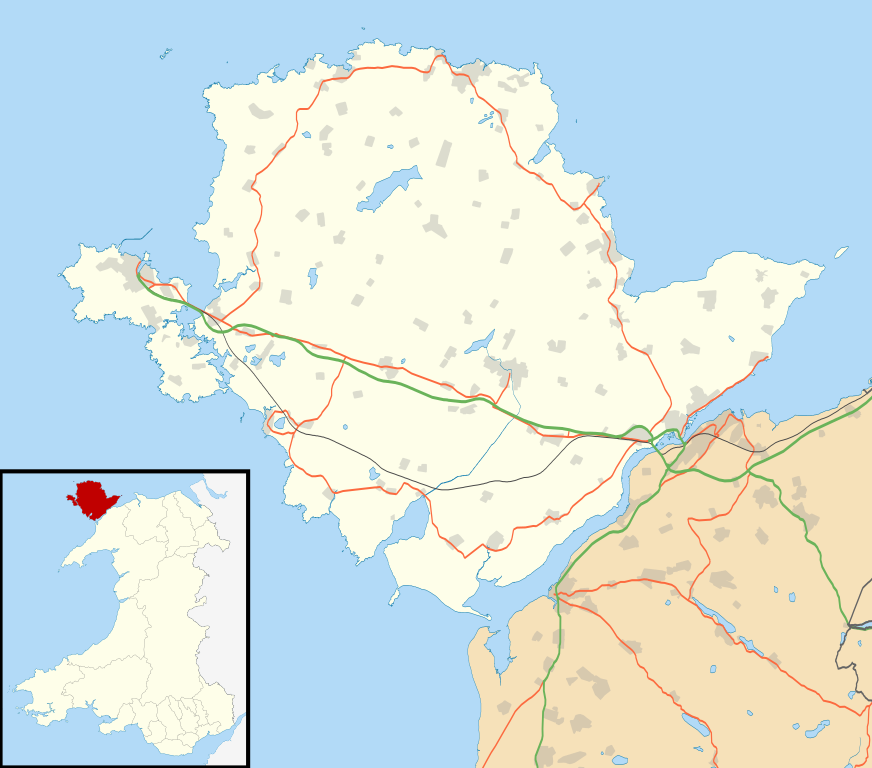
Blank map of the Anglesey, UK with the following information shown:
Equirectangular map projection on WGS 84 datum, with N/S stretched 165% Geographic limits:
|
| Data | |
| Funtana |
|
| Autur | Nilfanion, created using Ordnance Survey data |
| Lizënza (Tó ca danü chësc file) |
Chësc file á la lizënza de destribuziun aladô dla lizënza Creative Commons Attribution-Share Alike 3.0 Unported. Atribuzion: Contains Ordnance Survey data © Crown copyright and database right
|
| Altre versioni | File:Isle of Anglesey UK map.svg - Blank map |
Storia dl documënt
Druca sun na data/ëura per udëi l documënt coche l fo te chël mumënt.
| Data/Ëura | Miniatura | Grandëza | utënt | Cumentar | |
|---|---|---|---|---|---|
| atuel | 21:34, 26 sët 2010 | | 1 425 × 1 255 (793 KB) | Nilfanion | {{Information |Description=Blank map of the Anglesey, UK with the following information shown: *Administrative borders *Coastline, lakes and rivers *Roads and railways *Urban areas Equirectangular map projection on WGS 84 datum, wi |
Coche l document ie stat adurvà
Chësta plata adroa chësc documënt:
Coche l documënt ie stat adurvà ntëur l mond
Ënghe chësta wikis adroa chësc documënt:
- Adurvà sun af.wikipedia.org
- Adurvà sun ar.wikipedia.org
- Adurvà sun bn.wikipedia.org
- Adurvà sun ceb.wikipedia.org
- Adurvà sun cy.wikipedia.org
- Adurvà sun da.wikipedia.org
- Adurvà sun el.wikipedia.org
- Adurvà sun en.wikipedia.org
- List of monastic houses in Wales
- Holyhead
- Beaumaris Castle
- Llangefni
- Amlwch
- Cemaes
- Newborough, Anglesey
- Beaumaris
- Menai Bridge
- Caernarfon Bay
- RAF Valley
- Bodedern
- Middle Mouse
- West Mouse
- RAF Mona
- South Stack
- Aberffraw
- Pentraeth
- Ynys Llanddwyn
- Llannerch-y-medd
- Llaingoch
- Llandegfan
- Benllech
- Moelfre, Anglesey
- Llangoed
- Red Wharf Bay
- Abermenai Point
- Cemlyn
- Fedw Fawr
- Tŷ Croes
- Ynys Feurig, Cemlyn Bay and The Skerries Special Protection Area
- Ynys Benlas
- South Stack Cliffs RSPB reserve
- Aber Alaw
- Rhosneigr
Mostra utilisaziun globala de chësc file.