File:Italy North location map.svg

Documënt uriginel (file tl format SVG, dimenjiuns nominales 1 240 × 792 pixels, dimenjiun dl file: 293 KB)
Ressumé
| Descriziun |
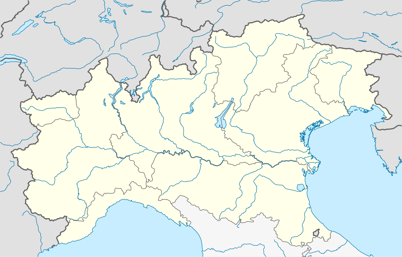
Quadratische Plattkarte, N-S-Streckung 132,898 %. Geographische Begrenzung der Karte:
Equirectangular projection, N/S stretching 132.898 %. Geographic limits of the map:
|
|
| Data | ||
| Funtana |
Opera personala, using
|
|
| Autur | NordNordWest | |
| Lizënza (Tó ca danü chësc file) |
Questo file è disponibile in base alla licenza Creative Commons Attribuzione-Condividi allo stesso modo 3.0 Germania.
 Questo file è disponibile in base alla licenza Creative Commons Attribuzione-Condividi allo stesso modo 3.0 Germania.
|


|
Questa mappa è stata prodotta e/o migliorata nel Kartenwerkstatt, il laboratorio grafico della Wikipedia tedesca, dove è possible proporre mappe da migliorare.
|
Storia dl documënt
Druca sun na data/ëura per udëi l documënt coche l fo te chël mumënt.
| Data/Ëura | Miniatura | Grandëza | utënt | Cumentar | |
|---|---|---|---|---|---|
| atuel | 19:48, 24 jun 2021 | | 1 240 × 792 (293 KB) | NordNordWest | upd |
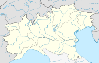
| 21:01, 4 ago 2010 |  | 1 240 × 792 (316 KB) | NordNordWest | == {{int:filedesc}} == {{Information |Description= {{de|Positionskarte der NUTS-1-Regionen Nordwesten und Nordosten von Italien}} Quadratische Plattkarte, N-S-Streckung 132,898 %. Geographische Begrenzung der Karte: * N: 47.3� |
Coche l document ie stat adurvà
Chësta 30 plates adroa chësc documënt:
- Bórcia
- Canal (comun)
- Cialòuž
- Cumelgu d Sora
- Danta
- Doméje
- Guódo
- La Ròcia
- La Val (Egordin)
- La Valada (comun)
- Longarón
- Lorenžàgo
- Malga Ciapela
- Oltach
- Ospedàl (comun)
- Peraruò
- Riva (Egordin)
- Sa Stefi
- San Colò
- San Pieru
- San Tomas (comun)
- San Vido
- Selva de Ciadore
- Taibón
- Val (Ciadore)
- Val de Zoldo (chemun)
- Zenzenìghe
- Zopè
- Ègort
- Template:Mappa di localizzazione/NordItalia
Coche l documënt ie stat adurvà ntëur l mond
Ënghe chësta wikis adroa chësc documënt:
- Adurvà sun ar.wikipedia.org
- Adurvà sun ba.wikipedia.org
- Adurvà sun bn.wikipedia.org
- Adurvà sun ceb.wikipedia.org
- Adurvà sun cs.wikipedia.org
- Adurvà sun de.wikipedia.org
- Kleiner Sankt Bernhard
- Colle di Tenda
- Passo di Croce Domini
- Predilpass
- Passo San Pellegrino
- Olympische Winterspiele 2006/Eishockey
- Borromäische Inseln
- Forcola di Livigno
- Monte Isola
- Tonalepass
- Valparolapass
- Staulanzapass
- Passo di Falzarego
- Neveasattel
- Golf von Triest
- Passo Campo Carlo Magno
- Col Agnel
- Passo di Giau
- Tremalzopass
- Manghenpass
- Vorlage Diskussion:Infobox Pass
- Mauriapass
- Passo Duran
- Passo Cibiana
- Passo Cereda
- Passo Rolle
- Passo Brocon
- Passo San Antonio
- Passo San Boldo
- Colle del Lys
- Eishockey-Weltmeisterschaft der U20-Junioren 2008
- Golfo Paradiso
- Passo dell’Aprica
- Passo del Vivione
- Passo San Marco
- Mortirolopass
Mostra utilisaziun globala de chësc file.