File:Lebanon location map.svg

Dimensioni di questa anteprima PNG per questo file SVG: 521 x 600 pixel. Autra resoluzions: 208 x 240 pixel | 417 x 480 pixel | 667 x 768 pixel | 889 x 1 024 pixel | 1 779 x 2 048 pixel | 992 x 1 142 pixel.
Documënt uriginel (file tl format SVG, dimenjiuns nominales 992 × 1 142 pixels, dimenjiun dl file: 219 KB)

|
The boundaries on this map show the de facto situation. This is just one of several different views on the subject (see COM:NPOV). |
Ressumé
| Descriziun |
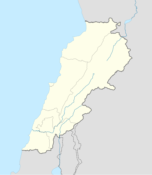
Deutsch: Positionskarte des Libanon
Quadratische Plattkarte, N-S-Streckung 115 %. Geographische Begrenzung der Karte:
English: Location map of Lebanon
Equirectangular projection, N/S stretching 115 %. Geographic limits of the map:
|
| Data | |
| Funtana |
own work, using
|
| Autur | NordNordWest |
| Altre versioni | Derivative works of this file: Israel and surroundings location map.svg |

|
Questa mappa è stata prodotta e/o migliorata nel Kartenwerkstatt, il laboratorio grafico della Wikipedia tedesca, dove è possible proporre mappe da migliorare.
|
Lizënza
Io, detentore del copyright su quest'opera, dichiaro di pubblicarla con le seguenti licenze:

|
AL é la lizënza da copié, da dé inant y/o müdé chësc documënt aladô dla lizënza GNU Free Documentation License, Verjiun 1.2 o vigni atra verjiun suandënta publicada dala Free Software Foundation; zënza seziuns che ara ne vá nia da mudé, zënza test söl cuertl ca dant y do ia. Na copia dla lizënza é tla seziun cun le titul Test dla GNU Free Documentation License. |
Chësc file á la lizënza de destribuziun aladô dla lizënza Creative Commons Attribution-Share Alike 3.0 Unported.
- Tu ies liede:
- da spartì – per cupié, spartësc y manda l lëur
- da mudé – da adaté al lëur
- A chësta condizions:
- atribuzion – Tu mues atribué l lëur te la maniera che à spiegà l autëur o chël che à la lizënza (ma nia te na maniera che l smea che ëi te paiessa).
- fá na condivijiun tla medema manira – Sce te mudes o svilupeies chësc test, pudres mé spartì ora l lëur sota la medema lizënza o una che ti smea a chësta same or compatible license
Pos chirí fora la lizënza che as plü ion
Storia dl documënt
Druca sun na data/ëura per udëi l documënt coche l fo te chël mumënt.
| Data/Ëura | Miniatura | Grandëza | utënt | Cumentar | |
|---|---|---|---|---|---|
| atuel | 22:31, 22 ago 2008 | | 992 × 1 142 (219 KB) | NordNordWest | |
| 22:08, 22 ago 2008 |  | 992 × 1 141 (219 KB) | NordNordWest | {{Information |Description= {{de|Positionskarte des Libanon}} Quadratische Plattkarte, N-S-Streckung 115 %. Geographische Begrenzung der Karte: * N: 34.9° N * S: 32.8° N * W: 34.8° O * O: 36.9° O {{en|Location map of [[:en:Lebanon|Leba |
Coche l document ie stat adurvà
Chësta plata adroa chësc documënt:
Coche l documënt ie stat adurvà ntëur l mond
Ënghe chësta wikis adroa chësc documënt:
- Adurvà sun af.wikipedia.org
- Adurvà sun als.wikipedia.org
- Adurvà sun an.wikipedia.org
- Adurvà sun ar.wikipedia.org
- دير مار أنطونيوس قزحيا
- قالب:خريطة مواقع لبنان
- عرسال
- نهر إبراهيم (نهر)
- قائمة مواقع التراث العالمي في لبنان
- تفجيرات بلدة القاع اللبنانية 2016
- قرار مجلس الأمن التابع للأمم المتحدة رقم 490
- مجزرة حولا
- إمدادات المياه والصرف الصحي في لبنان
- دير سيدة اللويزة
- دير سيدة راس بعلبك
- دير رقاد السيدة حماطورة
- مار ميماس (دير)
- دير مار قبريانوس ويوستينا
- Adurvà sun arz.wikipedia.org
- Adurvà sun az.wikipedia.org
- Adurvà sun ba.wikipedia.org
- Adurvà sun be-tarask.wikipedia.org
- Adurvà sun be.wikipedia.org
Mostra utilisaziun globala de chësc file.