File:South Sudan location map.svg

Documënt uriginel (file tl format SVG, dimenjiuns nominales 1 561 × 1 133 pixels, dimenjiun dl file: 205 KB)
Ressumé
| Descriziun |
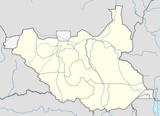
Deutsch: Positionskarte vom Südsudan
Quadratische Plattkarte, N-S-Streckung 101 %. Geographische Begrenzung der Karte:
English: Location map of South Sudan
Equirectangular projection, N/S stretching 101 %. Geographic limits of the map:
|
|
| Data | ||
| Funtana |
Opera personala, using
|
|
| Autur | NordNordWest | |
| Lizënza (Tó ca danü chësc file) |
Questo file è disponibile in base alla licenza Creative Commons Attribuzione-Condividi allo stesso modo 3.0 Germania.
 Chësc file á la lizënza de destribuziun aladô dla lizënza Creative Commons Attribution-Share Alike 3.0 Unported.
|
|
| Altre versioni |
Derivative works of this file: File:South Sudan location green map.svg |


|
Questa mappa è stata prodotta e/o migliorata nel Kartenwerkstatt, il laboratorio grafico della Wikipedia tedesca, dove è possible proporre mappe da migliorare.
|
Storia dl documënt
Druca sun na data/ëura per udëi l documënt coche l fo te chël mumënt.
| Data/Ëura | Miniatura | Grandëza | utënt | Cumentar | |
|---|---|---|---|---|---|
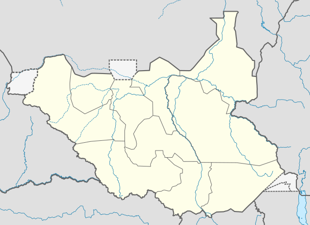
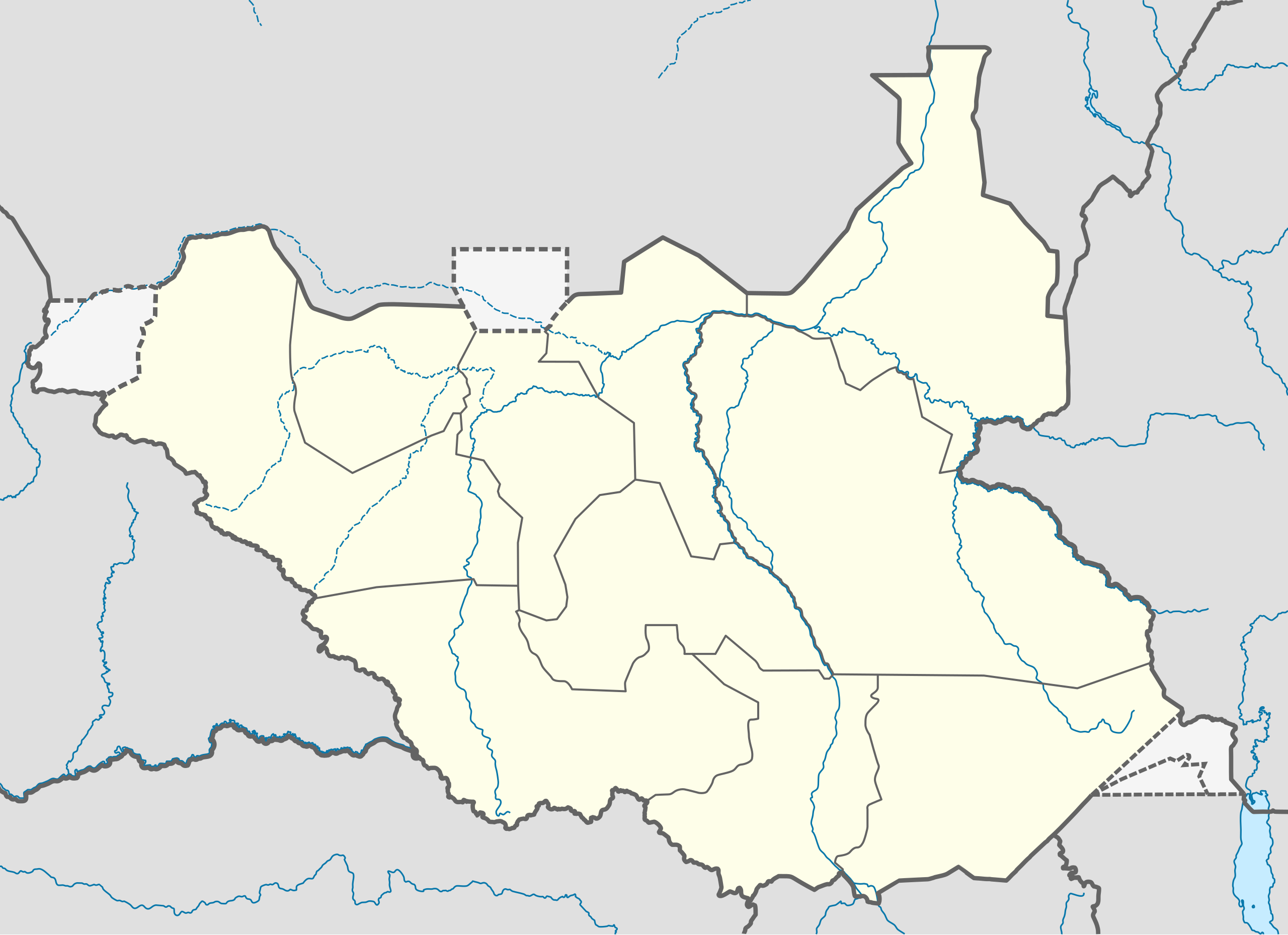
| atuel | 10:21, 18 ago 2011 | | 1 561 × 1 133 (205 KB) | Spesh531 | I am reverting and fixing all of the templates ot the best of my ability, I can need some help |
| 09:53, 18 ago 2011 |  | 1 500 × 1 133 (171 KB) | NordNordWest | you cannot change the area that is shown without adjusting all templates in which this map is used | |
| 01:20, 18 ago 2011 |  | 1 561 × 1 133 (205 KB) | Spesh531 | adding a disputed territory | |
| 13:42, 18 lug 2011 |  | 1 500 × 1 133 (171 KB) | NordNordWest | corr | |
| 14:04, 8 lug 2011 |  | 1 500 × 1 133 (172 KB) | NordNordWest | upd | |
| 16:23, 18 fau 2011 |  | 1 500 × 1 133 (178 KB) | NordNordWest | =={{int:filedesc}}== {{Information |Description= {{de|Positionskarte vom Südsudan}} Quadratische Plattkarte, N-S-Streckung 101 %. Geographische Begrenzung der Karte: * N: 12.7° N * S: 3.2° N * W: 23.7° O * O: 36.4° O {{en|Location m |
Coche l document ie stat adurvà
Plü de 100 plates utilisëia chësc file. La lista suandënta mostra ma les prömes 100 plates che utilisëia chësc file. Al é dan man na lista globala.
- Achila
- Amalakpa
- Awajo
- Bagategella
- Beleu
- Bertimani
- Bongoriok
- Bongwa
- Burung
- Chawa
- Chito
- Djebel Gaouara
- Dogora
- Donyiro East
- Donyiro West
- Dora
- Dukalalu
- Dukanzow
- Dukuyanzi
- Duvvo
- Echuagi
- Ediri
- Edo
- Egwi
- Emogadong
- Firiabit
- Fogha
- Ghoding
- Ghugum
- Girualo
- Ibeli
- Ibrogang
- Idigo
- Idumeli
- Ikaya
- Inanuga
- Iweri
- Jabal Abu Kuchu
- Jabal Aguma
- Jabal Amberingu
- Jabal Ambuji
- Jabal Bakawiru
- Jabal Biring
- Jabal Dim
- Jabal Ghucherr
- Jabal Mudu
- Jabal Rebur
- Jabal Tombak
- Jabal Zario
- Jabel Asiche
- Jabel Biamanzinzo
- Jabel Damkada
- Jabel Diru
- Jabel Egwa
- Jabel Erri
- Jabel Jeri
- Jabel Landayakuba
- Jabel Ndilo
- Jabel Ndingo
- Jabel Riku
- Jabel Rovo
- Jabel Rovotoko
- Jabel Sarlako
- Jebel Ajarbacha
- Jebel Angwawa
- Jebel Busu
- Khamugi
- Kidali
- Kilay
- Kinyeti
- Kukudu
- Kulomi
- Lifa
- Loalilo
- Lobono
- Lobuli
- Lobwek
- Loghobok
- Loghonyik
- Logira
- Lognori
- Lokuruba
- Lomilong
- Loswara
- Lugerren
- Magwe
- Minigini
- Miriaji
- Modole
- Mont Yango
- Muraloli
- Nylum
- Oboru
- Paia
- Rathet
- Ribi Hill
- Sauwo
- Terebiu
- Toboret
- Womer
Visualizza altri collegamenti a questo file.
Coche l documënt ie stat adurvà ntëur l mond
Ënghe chësta wikis adroa chësc documënt:
- Adurvà sun af.wikipedia.org
- Adurvà sun ar.wikipedia.org
- Adurvà sun bn.wikipedia.org
- Adurvà sun ckb.wikipedia.org
- Adurvà sun da.wikipedia.org
- Adurvà sun de.wikipedia.org
- Adurvà sun en.wikipedia.org
- Adurvà sun eo.wikipedia.org
- Adurvà sun es.wikipedia.org
- Adurvà sun eu.wikipedia.org
- Adurvà sun fa.wikipedia.org
- Adurvà sun frr.wikipedia.org
- Adurvà sun gl.wikipedia.org
- Adurvà sun hy.wikipedia.org
- Adurvà sun id.wikipedia.org
- Adurvà sun incubator.wikimedia.org
- Adurvà sun it.wikipedia.org
Mostra utilisaziun globala de chësc file.