Koblenz
zità de la Germania
| Articul per Ladin Gherdëina |
Koblenz (pronunzia tudëscia: [ˈkoːblɛnts] (![]() scota su)), scrit Coblenz nfin al 1926, ie na zità te la Germania tl stat federel Rheinland-Pfalz. Tl 2020 ovela na populazion de 113 388 sun na spersa de 105,25 km².[4] Koblenz ie sui ëures di ruves Rain y Mosel.
scota su)), scrit Coblenz nfin al 1926, ie na zità te la Germania tl stat federel Rheinland-Pfalz. Tl 2020 ovela na populazion de 113 388 sun na spersa de 105,25 km².[4] Koblenz ie sui ëures di ruves Rain y Mosel.
L inuem de la zità vën dal latin (ad) cōnfluentēs, che uel di ulache i (ruves) ruva adum. Per franzëus à la zità inuem Coblence, per talian Coblenza.
 | |
| Koblenz | |
|---|---|
 |
 |
| Blason | Bandiera |
| Nfurmazions prinzipeles | |
| Stat | |
| Stat federel | |
| Landkreis | kreisfreie Stadt |
| Fundazion | 8 dan Gejù Crist |
| Populazion | 115 298 ab. (31 dezëmber 2023)[1][2][3] |
| Densità | 1 095,5 ab./km² |
| Geografia | |
| Coordinedes | 50°21'35"N, 7°35'52"E |
| Autëza | 73 m |
| Spersa | 105,3 km²[1] |
| Auter | |
| Targa de l'auto | KO |
| Codesc de la posta | 56001–56077 |
| Gemeindeschlüssel | 07111000 |
| Plata internet | www |
| Cherta | |
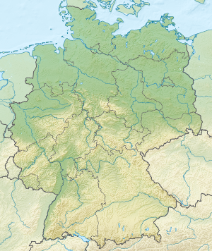 Koblenz Koblenz (Germania) | |
Storia
mudé| Ann | Pop. | ±% |
|---|---|---|
| 1469 | 1 193 | — |
| 1663 | 1 409 | +18.1% |
| 1800 | 7 992 | +467.2% |
| 1836 | 13 307 | +66.5% |
| 1871 | 24 902 | +87.1% |
| 1900 | 45 147 | +81.3% |
| 1910 | 56 487 | +25.1% |
| 1919 | 56 676 | +0.3% |
| 1925 | 58 161 | +2.6% |
| 1933 | 65 257 | +12.2% |
| 1939 | 91 098 | +39.6% |
| 1950 | 66 444 | −27.1% |
| 1961 | 99 240 | +49.4% |
| 1970 | 101 374 | +2.2% |
| 1987 | 108 246 | +6.8% |
| 2011 | 107 825 | −0.4% |
| 2018 | 114 024 | +5.7% |
| Mudamënc te la populazion po nce unì da mudamënc te la divijion aministrativa. Funtana:[5] | ||
Notes
mudé- ↑ 1,0 1,1 "Alle politisch selbständigen Gemeinden mit ausgewählten Merkmalen am 31.12.2018 (4. Quartal)". Archivià da l uriginel ai 10 merz 2019. Trat ite ai 10 merz 2019.
- ↑ https://www.statistikportal.de/de/produkte/gemeindeverzeichnis.
- ↑ https://www.destatis.de/DE/Themen/Laender-Regionen/Regionales/Gemeindeverzeichnis/Administrativ/04-kreise.html.
- ↑ https://www.destatis.de/DE/Themen/Laender-Regionen/Regionales/Gemeindeverzeichnis/_inhalt.html Statistisches Bundesamt – Gemeindeverzeichnis
- ↑ Statistisches Landesamt Rheinland Pfalz